-
Report an Issue

My Gresham service requests anytime, anywhere. Fix a pothole, remove graffiti, report a broken street.
-
Business
-
-
-
ABOUT GRESHAM
Tsuru Island Japanese Garden
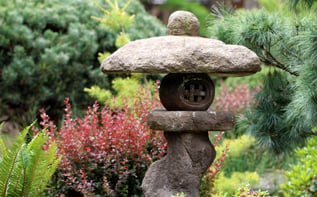
Explore this peaceful oasis, just a short walk from shopping and restaurants in historic downtown.